Flood Management and Mitigation Planning


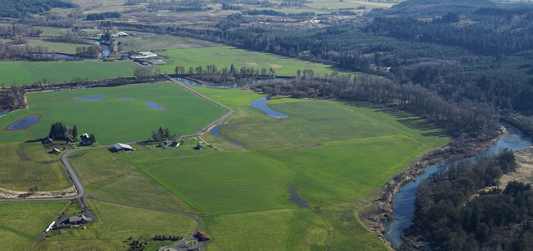
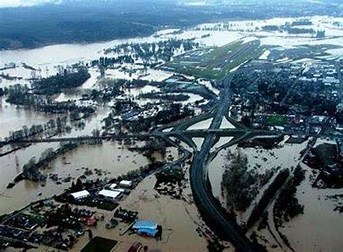
The Chehalis River Basin Flood Control Zone District faced the challenge of developing a comprehensive mitigation plan to offset the impacts of a proposed flood retention structure and levee system on the Chehalis River. Mitigation planning had to occur simultaneously with the development of NEPA and SEPA EIS documents due to budget cycle funding to keep the project on schedule.
Kleinschmidt created a purpose-built team to assess and further quantify the impacts of a proposed flood retention structure storing a temporary pool on the Chehalis River near Pe Ell, WA. Once these impacts were correctly quantified, the team established a Geospatial Unit (GSU) specific approach to mitigate the impacts for both aquatic and terrestrial species and habitats. Key to this effort was the coordination with environmental agencies and gaining their buy-in to the development of mitigation types and quantities by GSU, while not duplicating other efforts in the basin already in motion under the Aquatic Species Restoration Plan (ASRP). The team worked closely with modelers to develop inputs to the Ecosystem Diagnosis and Treatment (EDT) model to assess likely mitigation impacts at the sub reach and project area.
Kleinschmidt’s ability to manage the schedule and quality of deliverables while closely coordinating actions with the client and stakeholders resulted in the development of a well-integrated and implementable set of mitigation options that stand the scrutiny of scientific challenges.
