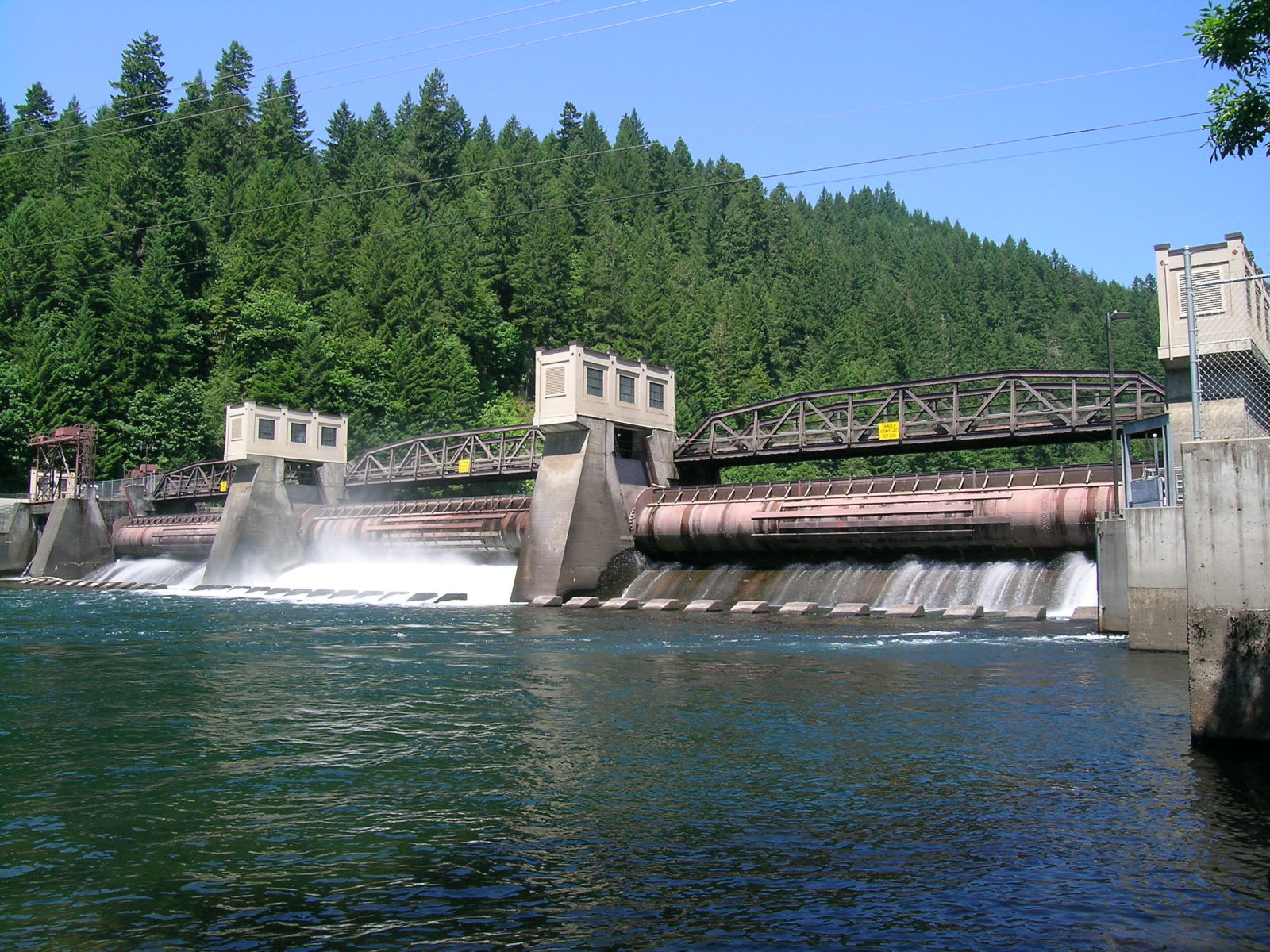
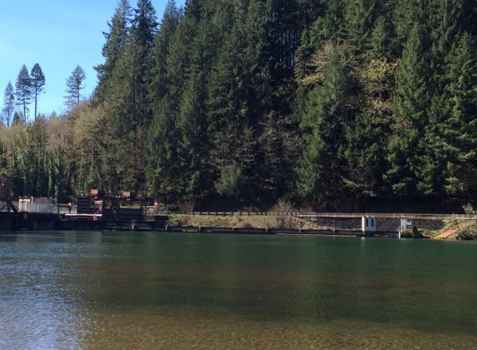
Leaburg-Walterville Hydro Development


During a routine safety inspection in October 2018, piping was observed at two sections of the five-mile-long outboard embankment. As piping can lead to levee breaches and damage to nearby residential areas, EWEB wished to model various breach scenarios at several locations along the canal. As a part of the semi-quantitative risk analysis (SQRA) process, the team needed to understand the risk to nearby homes and roadways due to a levee breach along the canal.
Kleinschmidt developed a HEC-RAS model to analyze levee breaches at each consequence reach of the canal that was analyzed in the SQRA process. We have been able to quantify risk to homes near the canal using a probabilistic approach, including use of McBreach software. The inundation mapping provided through these breach models were used to make knowledgeable decisions regarding canal operations and identify areas of concern. Additionally, the canal’s Hazard Mitigation Control System (HMCS), used to automatically operate canal gates during a landslide event, was modeled using HEC-RAS Rules to test the capability of the response. EWEB, Cornforth Consultants, and the SQRA team were provided with conclusive insights into impact due to levee breaches along the Leaburg Canal.
Kleinschmidt provided a quantitative assessment of homes and roadways affected by potential levee breaches during various storm events, up to and including the PMF. We helped assign the likelihood and consequence of flooding due to levee breaches, allowing the client to make informed decisions about the Leaburg Canal’s future operations.
