Multiple Opening Analysis
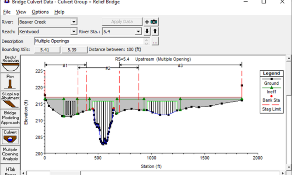
Did you know that if you have a bridge opening and one or more culverts at a single river crossing a Multiple Opening Analysis is required?
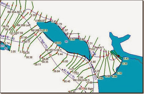
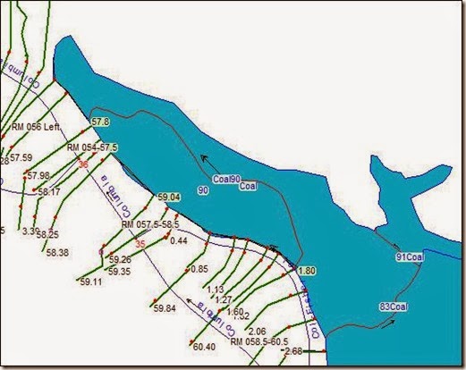
I am working on a dam breach project where I’m trying to simplify a complicated model with dozens of tributaries and storage areas. In the process, I’m converting a few tributaries into storage areas (which are surrounded by other storage areas). For example, I want to convert the reach below (from 5.43 to 0.55) to a storage area. We happen to have the topographic data used to generate the original model (although we don’t have the original geodatabase), so we’re good to go.  In order to do that, we need to delineate the storage area polygon, define new storage area connections, and generate lateral structures. The new “reach” (now a storage area) will look like the one below.
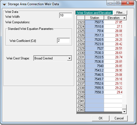
  Now we need station-elevation data for storage area connections and lateral structures. Easy, right? Well, not so fast. HEC-GeoRAS seems to have some issues exporting data when you take an existing project and try to modify shapefiles and extract data for only a portion of the entire model. It is especially difficult if you’re not the one who built the model in the first place. The shortcut is to think outside GeoRAS and obtain simple 3D station-elevation points directly from a TIN or grid for the storage area or structures you need. The bad part about that is that extracting tools in ArcGIS doesn’t really have an option to limit the number of points that are generated, and you end up with thousands of points that you can’t really use in HEC-RAS (the limit for cross section points, storage area connection weir/embankment points, and lateral structure weir points is 500). For example, in the connection called 83Coal in the figure above, I end up with over 2300 points. I’m stuck. Or so I thought… It turns out that RAS automatically “expands” its Station Elevation table to store however many points you need. In my case, 2339…
  HEC-RAS will still give you an error if you try to run the model with this data (the limit of 500 points still stands for computations!), but a simple click of the “Filter” button you see in the figure above solves the problem. Voila! Hope you liked this new (for me) discovery.
Comments
Daniela
on November 6, 2013Just remember that the maximum number of points you can copy into HEC-RAS is 5,000.
LLCR
on March 5, 2014What if I want to take just part of a stream reach and make it into a storage area; is there any way to break the existing reach?
Chris G.
on March 5, 2014Yes, you could create temporary tributaries, and connect them to the reach you want to split, one on each side of the part of the reach that will become the new storage area. RAS will ask you if you want to split the reach. Say yes for both tributaries. You'll probably have to create a junction as well. This too will be temporary. When this part is done, you'll have three reaches in the original river, separated by two tributaries and two junctions. Now delete the middle reach, the two tributaries and the two junctions, and you should be left with a gap in the original river where your storage area can be drawn. Once you draw your storage area, make sure you move the end vertex point of each of the reaches into the storage area, so RAS knows they are connected. Good Luck.
tunio
on June 11, 2018Dear Chris,
In HEC RAS 2D Modelling, Embankment Station/Elevation Table accepts only up to 500 stations values in increasing order.
How can we solve this issue, any idea?
Thanks in advance
Kind regards
Imran Aziz Tunio
Add Your Comment